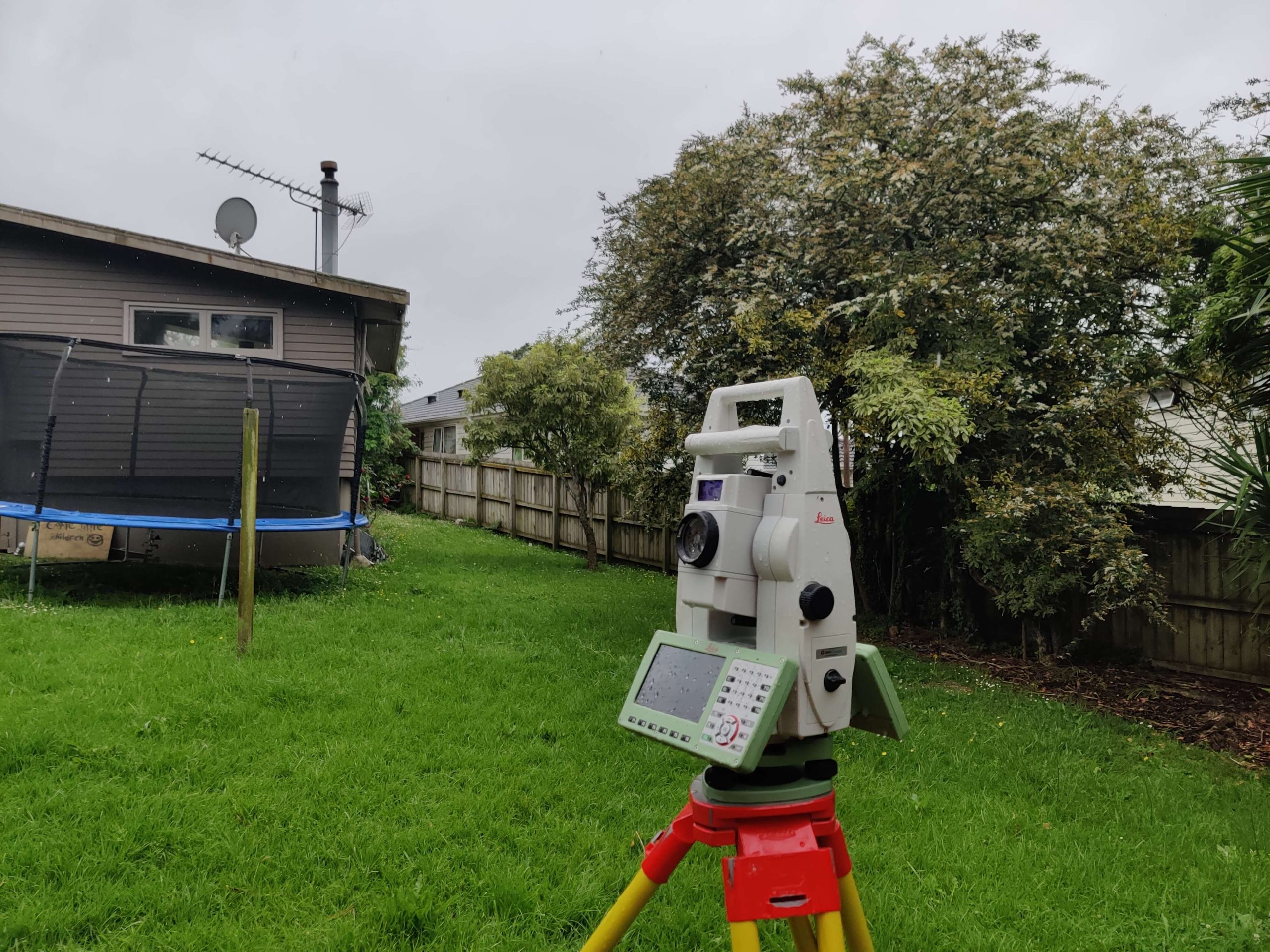
In land development and construction, a topographic survey is one of the fundamental surveys that architects, engineers, and land planners rely upon. It serves as a cornerstone for the planning and design of any development project, from residential homes to commercial buildings, and even infrastructure like roads and bridges.
This article delves into the inherent benefits of conducting a topographic survey and how it contributes to effective planning and design.
A topographic survey is a specialised survey that captures the elevations of the land and outlines both natural and man-made features, including buildings, trees, walkways, and more. Essentially, it provides a three-dimensional map of the land, revealing how the terrain might impact various aspects of development.
One of the most compelling reasons for a topographic survey is the accuracy it offers in planning. Knowing the exact elevations and dimensions of the land helps architects and engineers make well-informed decisions about the layout, design, and construction of a project. Without this essential data, the risk of costly mistakes and project delays increases significantly.
Understanding the natural features of the land is crucial for preserving environmental integrity. A topographic survey provides vital information about natural elements like slopes, water bodies, and vegetation. This data can guide developers in creating designs that are both aesthetically pleasing and environmentally sustainable.
Zoning laws, building codes, and land use regulations often require specific information about the land’s topography. A detailed topographic survey ensures that any development conforms to local and national laws, helping to avoid legal complications down the road.
The three-dimensional aspect of a topographic survey allows planners to identify potential problem areas, such as flood zones or unstable ground. Being forewarned about these challenges enables developers to take necessary precautions, thus mitigating risks and potentially reducing insurance costs.
One of the most recognisable features of a topographic survey is the contour lines, which indicate the elevation of the land. These lines are invaluable for understanding how water will flow across the site, which is crucial for drainage planning.
This includes information about hills, valleys, rivers, lakes, and vegetation. These features can be both constraints and opportunities in planning and design.
Apart from natural elements, a topographic survey also outlines man-made structures like buildings, fences, roads, and utilities. This is crucial for renovation projects and planning new constructions adjacent to existing structures.
While not a replacement for a boundary survey, a topographic survey can also indicate property lines, which is essential for legal documentation and for understanding the scope of the project.
Before any residential or commercial development, a topographic survey is often the first step in the planning process. It provides the essential data for designing buildings, roads, and utilities.
For projects like highways, bridges, and dams, a topographic survey provides engineers with the necessary data to make critical decisions about location, design, and materials.
In agriculture, understanding the lay of the land can assist in planning irrigation systems, plotting crop areas, and managing water flow, thereby maximising yield and minimising environmental impact.
Topographic surveys are also used in various environmental studies to understand landforms and to plan conservation efforts. They are particularly useful in assessing the impact of human activities on natural settings.
A topographic survey is more than just a map; it’s a comprehensive guide to the land’s features, elevations, and potential challenges. From initial planning to final construction, it plays a pivotal role in making informed decisions, ensuring legal compliance, and mitigating risks.
Whether you are a homeowner planning a renovation, a developer starting a new project, or an environmentalist looking to preserve a natural habitat, a topographic survey is an indispensable tool for effective planning and design.
When it comes to topographic surveys, experience and precision matter. Based in Auckland, New Zealand, Survplanz is a leading name in land surveying. As proud members of the New Zealand Institute of Surveyors, our team brings 18 years of expertise in construction and cadastral surveying.
Specialising in a comprehensive array of surveying services, including topographic surveys, commercial & residential boundary surveys and more, Survplanz leverages cutting-edge technology and industry expertise to deliver exceptionally detailed survey plans. So, whether you’re planning a subdivision, construction, or simply need an accurate lay of the land, consider Survplanz for a profoundly professional experience.